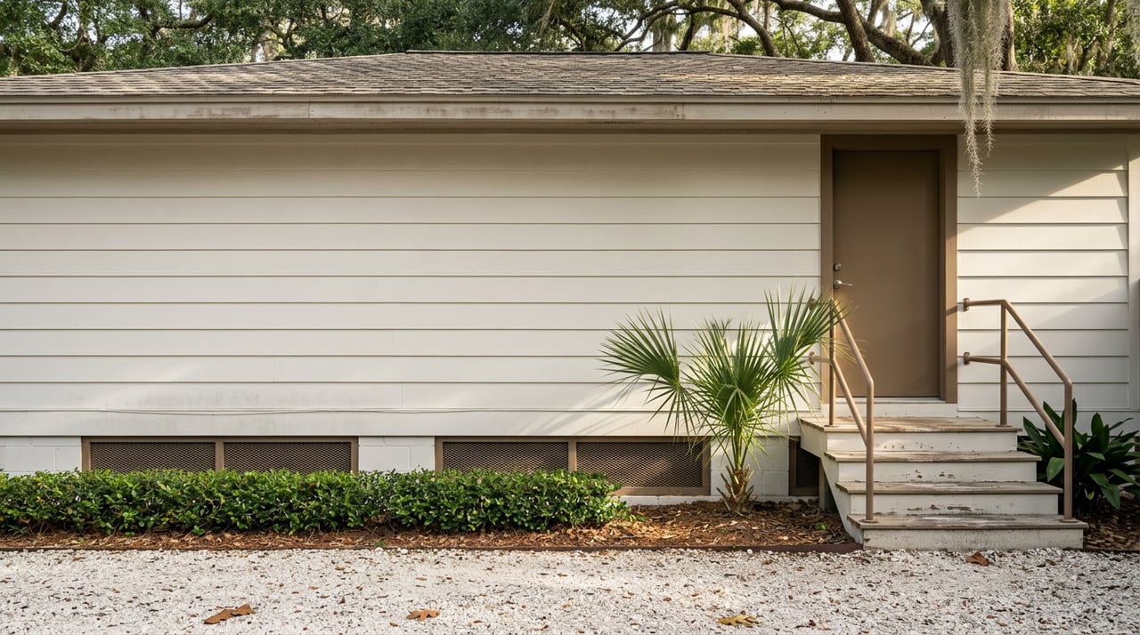
East Pensacola Heights Isn't One Housing Market. A Flood Line Splits It Into Two.
Picture two cottages in East Pensacola Heights, same decade, same square footage, three blocks apart. One sits close enough to Bayou Texar to catch the breeze off the water. The other sits a few streets inland, closer to Scenic Highway than the shoreline. On paper, a portal search would treat them as comparable homes in the same neighborhood, maybe even flag them as similar-priced.
Their owners are not paying similar money to keep the house insured. The waterfront cottage can run $2,500 a year or more for flood coverage alone. The inland cottage might pay closer to $500. That gap has nothing to do with the roof, the kitchen, or the year it was built. It comes down to which side of an invisible line on a federal map the structure happens to sit on, and that line moved just under a year ago.
If you are comparing East Pensacola Heights to other Pensacola-area neighborhoods right now, the single median price you saw on a listing site is close to useless for this particular pocket of the city. The real story is that EPH functions as two adjacent markets stitched together by geography and a flood zone boundary, and the boundary itself was redrawn in the city's most recent remap.
East Pensacola Heights does not trade in high volume. In a typical month, the number of closed sales across the whole neighborhood can sit in the low teens. When a market moves a dozen or so homes in a month, one waterfront sale and one interior fixer-upper closing in the same window can swing a reported median by tens of thousands of dollars without anything in the broader market actually changing.
That is why price per square foot, not a single median figure, tends to be the more honest read on a neighborhood this size, and why lot position and water proximity do more to explain what a specific address is worth than any area-wide average. A buyer who anchors on one median number is really anchoring on whichever handful of homes happened to sell that month, which may not resemble the house they are about to make an offer on at all.
The mechanism underneath that price scatter is FEMA's flood zone designation. Areas with the highest flood risk get labeled as Special Flood Hazard Areas, marked on federal maps with zones that start with the letter A or V, and federally backed mortgages require flood insurance on any structure inside one. Step outside that boundary into a moderate or low risk zone, typically labeled Zone X, and the insurance requirement and the premium both drop.
In East Pensacola Heights, that boundary runs close to the water. Streets that front Bayou Texar or the bay carry the higher-risk designation. Move a few blocks inland, and many homes sit in the lower-risk zone, even though they are still part of the same walkable, historic peninsula. Two houses of identical size can carry monthly costs that differ by hundreds of dollars simply because of where that line falls between them, and that carrying cost shows up in a buyer's qualifying math well before it shows up in the listing price.
Here is where the timing actually matters for anyone shopping this neighborhood in August 2026. The City of Pensacola's Flood Insurance Rate Map was updated on August 19, 2025. The new map panels introduced Special Flood Hazard Areas that did not exist on the prior 2006 FIRM, and the city has been direct about the consequence: structures not previously inside an SFHA may now be inside one, because the zone lines themselves shifted, not just the labels attached to them.
That update is now almost exactly a year old. Under NFIP guidance, a property newly mapped into a high-risk zone can qualify for a meaningful break called the Newly Mapped discount, roughly 70 percent off the first $35,000 of building coverage and the first $10,000 of contents coverage, but that eligibility generally depends on binding or renewing a flood policy within about 12 months of the map revision date. For any East Pensacola Heights parcel that got pulled into a flood zone in last August's remap, that window is closing right now.
This is not an abstract regulatory detail. If you are negotiating on a home in this neighborhood this month, or you already own one that shifted zones last year, it is worth confirming the exact date your flood determination changed and whether a policy was bound inside that 12-month clock. Missing it does not make flood insurance unavailable. It just means paying full freight instead of a discounted first-year rate that a neighbor down the same street may have already locked in.
A 2026 mortgage-lender market forecast pegs East Pensacola Heights and Scenic Highway water-view properties in the $280,000 to $480,000 range, while the neighborhood's more interior, established stock runs somewhat lower. Locally, that price spread tracks closely with the insurance spread: roughly $500 a year for a dry-lot interior home, climbing past $2,500 a year for true waterfront exposure. Stack the two together and the picture gets clearer:
| Interior streets (Zone X) | Water-adjacent streets (Zone AE) | |
|---|---|---|
| Typical price band | Lower-to-mid range for the neighborhood | Meaningfully higher, water frontage or access commands a premium |
| Typical flood premium | Roughly $500/year | $2,500/year or more |
| Mortgage requirement | Usually not mandated | Mandatory on federally backed loans |
| Wind mitigation upside | Still valuable | Can meaningfully offset premium on an upgraded roof |
An upgraded roof with documented hurricane clips and a current wind mitigation form can shave real money off either band, sometimes over $1,000 a year, which is why pulling that paperwork before writing an offer matters as much as pulling the flood determination.
None of this means the interior streets are the smarter buy for every household. People choose the water-adjacent blocks in East Pensacola Heights because the neighborhood is built around the bayou, not despite it. Bayview Park sits just across Bayou Texar, close enough that it is reachable by kayak or paddleboard rented from the park's own outdoor center, and a short stretch of Scenic Highway holds Jerry's Drive-In, open since 1939, alongside Scenic 90 Cafe and J's Bakery, which has been turning out pastries in the area since 1946. That density of long-running, family-run spots within walking distance is a real part of what buyers are paying for, and it is concentrated closest to the water.
The point is not that the flood zone should talk anyone out of the water side. It is that the premium for water access needs to be weighed against a real, quantifiable annual cost, not folded invisibly into a single neighborhood median.
A few steps matter more in East Pensacola Heights than in a neighborhood without a flood line running through it:
How do I check my own zone before touring? The FEMA Flood Map Service Center lets you search by address and see the current effective zone directly.
Does the whole city get any relief on flood premiums? Pensacola participates in FEMA's Community Rating System and currently holds a Class 7 rating, which provides a 15 percent discount on flood insurance for all properties inside a Special Flood Hazard Area citywide. That is a baseline cushion, not a substitute for knowing your specific zone.
If my lot is technically above flood level, do I still have to carry the higher premium? Not necessarily. A Letter of Map Amendment can remove an individual structure from an SFHA if a licensed survey shows the ground sits above base flood elevation, even when the surrounding zone label says otherwise.
Does a lower flood zone always mean a better deal? Not automatically. It means a lower carrying cost, which changes what a buyer can actually afford to offer once insurance is factored into a monthly payment. Water proximity still drives a real part of the price itself.
The number worth carrying into a tour of East Pensacola Heights this month is not the neighborhood median. It is the flood determination and the wind mitigation report for the specific address, checked against a clock that started ticking last August.
If you are weighing a specific address in East Pensacola Heights against the carrying cost that comes with it, Luxpoint Real Estate can pull the flood determination and comparable closings before you write an offer, so the number you are negotiating against is the real one.


Defined by market expertise and a refined, results-driven approach, each client receives tailored guidance aligned with their goals. Every decision is supported by insight, strategy, and local knowledge of Gulf Breeze and Florida’s coastal market. The focus remains on delivering clarity, confidence, and measurable results.

Luxpoint Real Estate
913 Gulf Breeze Pkwy Ste 4 Gulf Breeze FL 32561